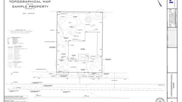
Topographical Site Surveys
Topographical site surveys provide a base for architects, engineers & designers alike. They are integral in planning and save time and money when it comes time for construction.
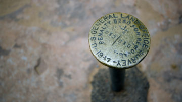
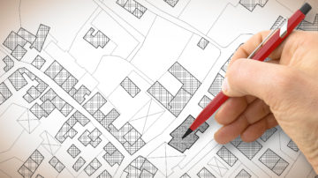
Boundary Surveys
A boundary survey will ensure that you know exactly where the property boundary is. It will provide peace of mind when purchasing property, planning improvements, or making sure a fence is put up on the property line.

ALTA Surveys
The ALTA survey is a complete investigation into the title of the property. These surveys are typically required by the lender for large commercial transactions.
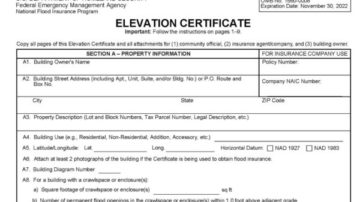
Flood Elevation Certificates
A Flood Elevation Certificate is a form provided by FEMA to certify the finish floor elevation of a residence (along with other information) is shown to be within a flood plane on a Flood Insurance Rate Map (FIRM).

Lot Line Adjustments & Land Subdivisions
Lot Line Adjustments can be a valuable tool to mitigate boundary disputes and also to provide flexibility for land development. Land Subdivisions can increase a property's value substantially, especially if development is the goal for the parcel. …
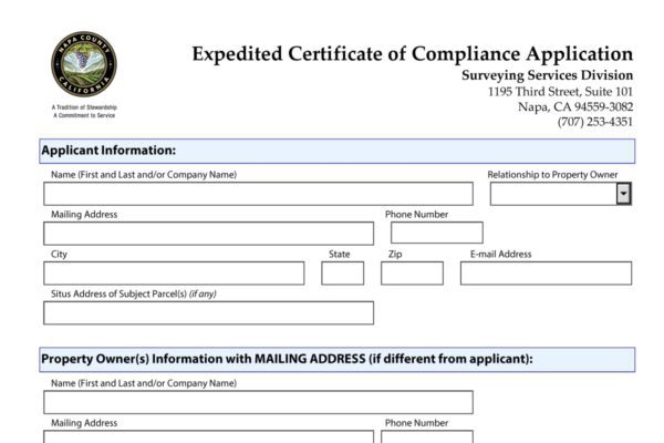
Certificates of Compliance
A Certificate of Compliance is the local agencies’ certification that a parcel was legally created in conformance with the Subdivision Map Act and local ordinances at the time of the creation. The applications vary per agency, but generally, …
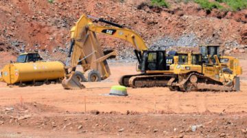
Construction Staking Surveys
Whether the improvement plans have been approved, or the project is still in the planning phase, having the improvements (buildings, roads, pools, etc.) staked precisely where they were planned on the project site gives you a clear idea of what …
Land Planning & Development Consulting
Pridmore & Company can help you with your land and development planning needs. We understand that the development and permitting process can be very confusing, time-consuming, and stressful at times. We provide one-on-one consultation services …